Downtown Toronto walking guide
Toronto: 2-Hour Downtown Walking Tour
Is downtown Toronto walkable?
Yes, downtown Toronto is compact and grid-based, and most major sights — the CN Tower, Union Station, the Financial District, Nathan Phillips Square, and St. Lawrence Market — sit within a 20-30 minute walk of each other. A full walking loop covering the core comfortably takes three to four hours.
A grid city that rewards walking
Toronto’s downtown core is laid out on a fairly consistent grid running north from Lake Ontario, which makes it one of the more intuitive big-city cores to navigate on foot — no confusing radial streets, no hills to speak of, and short enough blocks that landmarks stay visible for orientation. The core roughly spans from the waterfront up to College Street, and from Spadina Avenue east to Jarvis Street, an area you can genuinely cross end to end in under 45 minutes if you don’t stop.
That said, “walkable” doesn’t mean “see it all in one pass.” The neighborhoods packed into this stretch — the Financial District, the Entertainment District, St. Lawrence Market, the Distillery District, and the edges of Chinatown and Kensington Market — each deserve their own slower visit. This guide covers a realistic core-loop route, plus how the pieces connect if you’re building out a longer stay.
| Where | Waterfront to College St., Spadina Ave. to Jarvis St. |
| Cost | Free — just TTC fare if you skip a stretch |
| Time needed | 3-4 hours for the core loop, 2 days for downtown properly |
| Getting there | Union Station (GO Transit, VIA Rail, subway Line 1) |
| Best time | Weekday mornings for quieter streets; avoid January PATH-only days if you want street-level views |
Starting point: Union Station
Union Station is downtown’s transit hub and a logical starting point for almost any walking route — it’s where GO Transit trains, VIA Rail, and the subway all converge, and its restored Great Hall (a soaring, beaux-arts ticket concourse) is worth a few minutes on its own before you head outside. From the station’s north exit, you’re a five-minute walk from the base of the CN Tower and a similarly short walk into the Financial District, or a short walk south to Harbourfront if the waterfront is your priority instead.
The Financial District and the PATH
North of Union Station sits Toronto’s Financial District — the cluster of bank towers along Bay Street that gives the skyline its recognizable silhouette, including the twin black towers of the Toronto-Dominion Centre (designed by Mies van der Rohe) and the distinctive gold-glass Royal Bank Plaza. Beneath all of it runs the PATH, a 30-kilometer underground network of pedestrian tunnels connecting most of the district’s office towers, several malls, and Union Station itself. It’s genuinely useful in January when it’s -15°C outside, and largely beside the point in June — using it on a nice day means missing the street-level city entirely, so treat it as a weather contingency rather than a default route.
Nathan Phillips Square, home to Toronto’s distinctive curved City Hall building and its reflecting pool (an ice rink in winter), sits at the district’s northern edge and is worth a stop for the architecture and the public square’s energy, especially if something’s programmed there — the square hosts free events and markets throughout the year.
East toward St. Lawrence Market and the Distillery District
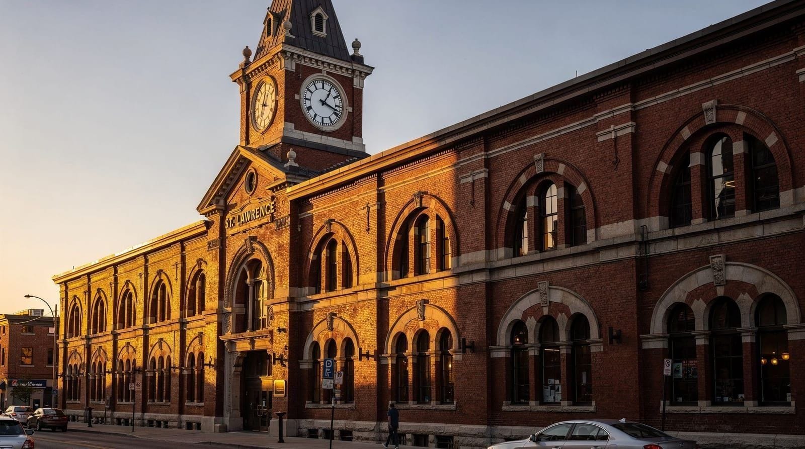
Heading east from the Financial District along Front Street brings you to St. Lawrence Market within about 10 minutes — one of the world’s great food markets, worth an hour minimum for lunch and browsing (see our full guide to St. Lawrence Market).
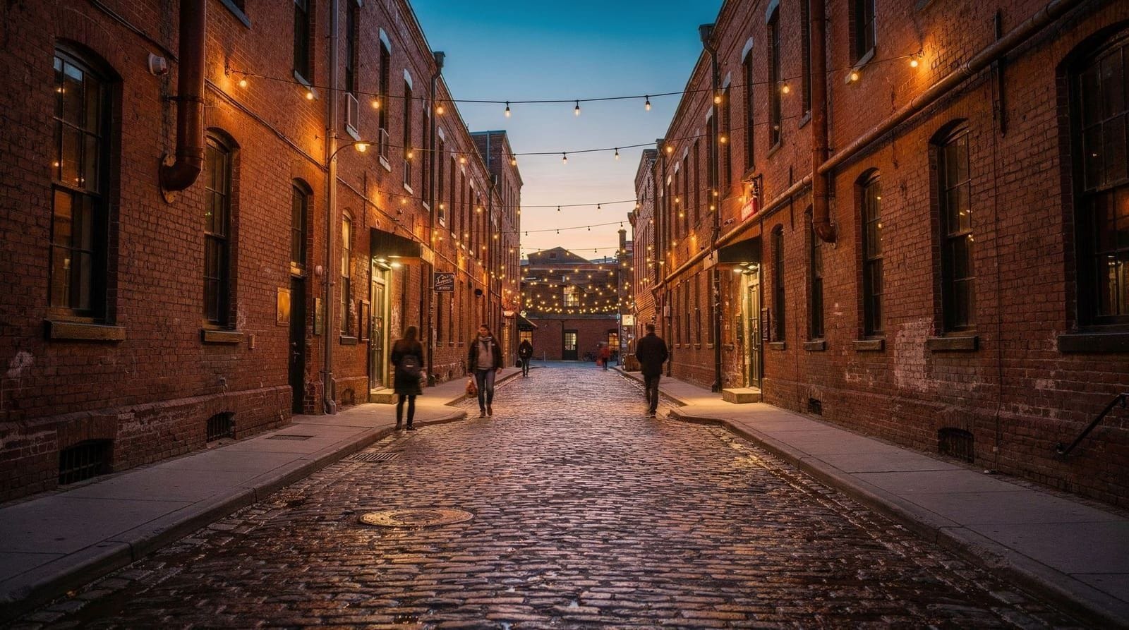
Continuing southeast another 15 minutes lands you in the Distillery District, a car-free, cobblestoned Victorian industrial complex now filled with galleries, shops, and restaurants (full details in our guide to the Distillery District). This eastern stretch — St. Lawrence Market to the Distillery District — is one of the most rewarding half-day combinations downtown has to offer, and it avoids the CN Tower area’s tourist density almost entirely.
West toward Chinatown and Kensington Market
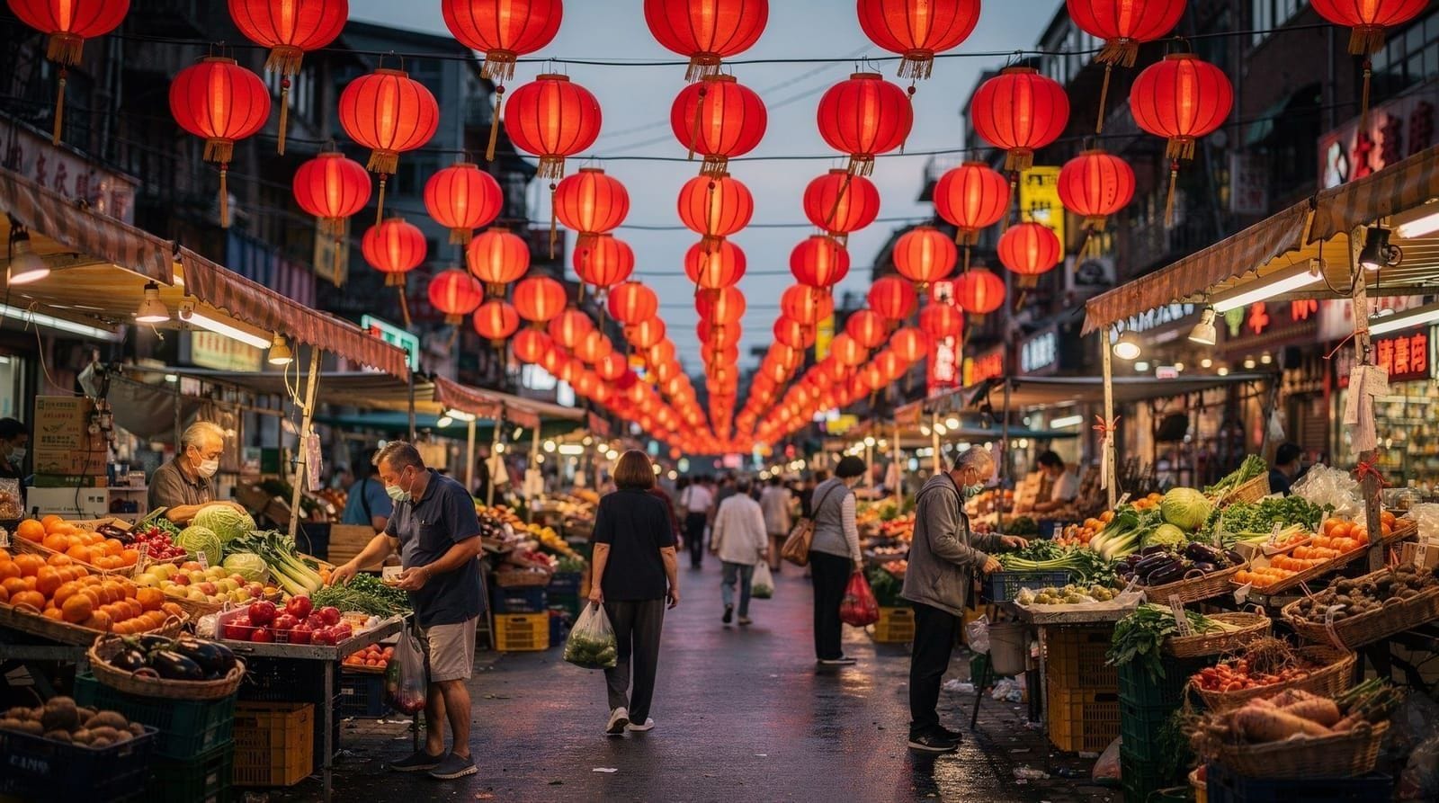
Heading west instead, past the Entertainment District and its cluster of theatres and sports venues (Scotiabank Arena and Rogers Centre both sit near the waterfront edge here), Queen Street and Dundas Street both lead eventually to Chinatown along Spadina Avenue, and Kensington Market just beyond it. This western route is longer and denser — budget closer to 45 minutes of walking from the Financial District, more if you stop along Queen West, which sits between the two. See our Chinatown Toronto guide and guide to Kensington Market for what’s waiting at the end of this route.
Seeing it with a guide instead of solo
If you’d rather not piece together a route on your own, the 2-hour downtown Toronto walking tour covers the core Financial District and waterfront-adjacent sights with a guide who fills in historical context — which building replaced what, why the PATH exists, how the city’s grid took shape — that’s easy to miss walking it cold. It’s a reasonable first move on day one to orient yourself before exploring further on foot independently.
A realistic two-day split
Rather than trying to walk the entire downtown core in one exhausting day, most visitors get better results splitting it in two:
Day one: Union Station, CN Tower area, Financial District, Nathan Phillips Square, then east to St. Lawrence Market and the Distillery District for lunch and the afternoon. This is the “classic sights” day and covers roughly 4-5 kilometers of walking.
Day two: Queen West, Trinity Bellwoods, Chinatown, and Kensington Market — the arts-and-food-focused western neighborhoods, best explored slower with time for eating and browsing rather than sightseeing. This route runs slightly longer, closer to 5-6 kilometers if you cover all four neighborhoods.
Getting around when you don’t want to walk
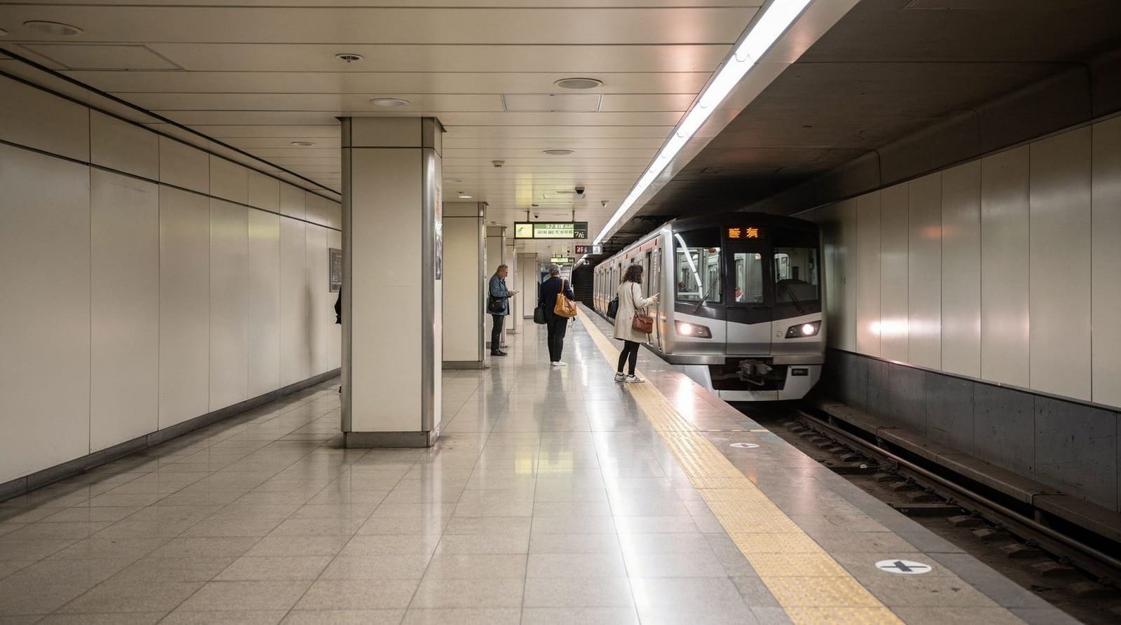
The 504 King and 501 Queen streetcars both run east-west across the full width of downtown and are useful for skipping a tired stretch rather than walking it. The subway’s Line 1 runs a U-shape beneath the core, useful for jumping between University Avenue and Yonge Street quickly. A PRESTO card or contactless tap payment covers all TTC transit at a flat downtown fare — see our TTC transit guide for the full rundown on getting a card and current fares.
How Toronto’s grid and skyline took shape
Toronto’s downtown street grid dates back to the original 1793 town plot laid out by the colonial government under Lieutenant Governor John Graves Simcoe, when the settlement was still called York. The plan followed a simple rectangular survey pattern radiating from the harbour, with streets running perpendicular to the shoreline and cross streets at regular intervals — a layout that expanded steadily northward through the 19th century as the city grew, absorbing surrounding villages and township grids that don’t always line up perfectly at the seams, which is part of why a few downtown streets jog slightly or change name mid-block.
By the time Toronto incorporated as a city in 1834, the core grid pattern visitors walk today was already largely fixed, which is unusual for a North American city of Toronto’s eventual size — most gridded downtowns absorbed later car-oriented redevelopment that broke up the original block pattern, but Toronto’s core resisted that pressure more than most.
The skyline above that grid is much newer. Until the 1960s, Toronto’s tallest buildings were modest by later standards, and the Financial District’s current profile — the cluster of bank towers along Bay Street — was built almost entirely between the late 1960s and the early 1990s. The Toronto-Dominion Centre, designed by Ludwig Mies van der Rohe and completed in phases starting in 1967, set the template: minimalist black steel-and-glass towers arranged around an open plaza, a radical departure from the ornate stone bank buildings that preceded it.
First Canadian Place followed in 1975 as briefly the tallest building in the Commonwealth, and Royal Bank Plaza’s distinctive gold-tinted glass — a genuine, if thin, layer of real gold applied to the windows for insulation — arrived a year later. That cluster of construction, all within about a decade, is why the Financial District’s skyline reads as a coherent architectural moment rather than a piecemeal accumulation — most of it really was built in roughly the same window, largely by the same handful of major Canadian banks competing for the most prestigious address on Bay Street.
The PATH network grew up alongside this construction boom rather than being planned as a single system from the start. Its earliest tunnel segment dates back to around 1900, connecting a downtown department store to a nearby transit stop, but the bulk of today’s 30-kilometer network was built piecemeal from the 1960s onward as each new office tower or mall connected into its neighbors, largely driven by developers wanting to keep foot traffic — and retail spending — moving through their own buildings during Toronto’s cold winters rather than losing it to the street.
The result is a system that’s practical but not always intuitive: because it grew organically rather than by central design, there’s no single consistent signage standard across its full length, and even longtime downtown office workers occasionally get turned around in it.
The relationship between downtown’s grid and Lake Ontario has also shifted dramatically since the original town plot. Toronto’s shoreline in the early 19th century sat close to where Front Street runs today — a fact that surprises most visitors walking Front Street’s row of 19th-century warehouses and assuming it always faced open water. Successive waves of landfill through the 19th and 20th centuries, driven by railway expansion and industrial land demand, pushed the actual shoreline several hundred meters south to roughly where the Gardiner Expressway and today’s waterfront promenade now sit.
That’s why streets named for the lake — Front Street chief among them — no longer front onto anything resembling open water, and why the walk from the Financial District down to Harbourfront today crosses what would once have been submerged lakebed. It’s a useful thing to know while walking this route: much of the ground underfoot south of Front Street is, geologically speaking, only about a century old.
Practical notes
- Footwear: The grid layout is flat, but a full downtown day easily covers 8-10 kilometers — comfortable shoes matter more than downtown Toronto’s reputation as an “easy” walking city suggests.
- Weather: Summer humidity and winter wind chill are both real considerations; the PATH is a legitimate winter workaround for the Financial District section specifically.
- Safety: The core is well-populated and safe at most hours; standard awareness applies around Yonge-Dundas Square late at night, similar to any dense entertainment district. Our safety tips for Toronto guide covers this in more depth.
- Bathrooms: Union Station, the Eaton Centre, and most cafés along the route offer facilities; standalone public washrooms are less common downtown than in many cities.
Downtown Toronto’s core rewards a loosely planned walk more than a rigid itinerary — the grid layout makes it hard to get truly lost, so leave room to follow whatever looks interesting rather than sticking strictly to a route.
Eating along the route without detouring far
You don’t need to leave the walking route to eat well. St. Lawrence Market is the obvious anchor — a peameal bacon sandwich from one of the main-floor vendors is close to a Toronto rite of passage — but the Financial District’s food courts inside the PATH also serve a fast, cheap lunch on a cold or rainy day, and Chinatown at the western end of the route has some of the city’s best-value dumplings and noodle shops if you time your walk to finish there around lunch or dinner.
The Distillery District leans pricier and more tourist-facing, worth a coffee or a browse rather than a full meal unless you’re specifically drawn to one of its restaurants. Budgeting a proper sit-down stop rather than grabbing something quick makes the two-day split above feel far less rushed.
Frequently asked questions about walking downtown Toronto
How long does it take to walk across downtown Toronto?
North-south, from the waterfront to College Street, takes about 30-35 minutes at a steady pace. East-west across the core, from the Distillery District to Kensington Market, takes roughly 40-45 minutes. Most visitors break the full downtown into two separate walking days rather than one marathon route, since stopping to eat, browse, and take photos along the way roughly doubles either estimate in practice.
What’s the PATH and should I use it?
The PATH is a 30-kilometer underground pedestrian network connecting most Financial District office towers, malls, and Union Station. It’s useful in bad weather or extreme cold, but it disorients first-time visitors and hides the city’s street-level character — worth knowing about, not necessarily worth prioritizing on a first visit, and best treated as a weather contingency for the Financial District stretch specifically rather than a default route.
Is downtown Toronto safe to walk around?
Yes, the downtown core is well-populated and heavily walked at most hours. Standard city caution applies around Yonge-Dundas Square late at night and near the Moss Park area east of downtown, which sees more visible homelessness and drug use than the core commercial streets covered in this route.
What’s the best starting point for a downtown Toronto walk?
Union Station is the natural hub — it’s the transit anchor for GO Transit, VIA Rail, and the subway, and it sits within walking distance of the CN Tower, the Financial District, and the waterfront, making it a logical start or end point for any downtown route regardless of which direction you plan to head first.
Do I need a car to see downtown Toronto?
No, and a car is actively unhelpful — parking is expensive and scarce, streets are one-way in a confusing pattern for visitors, and everything worth seeing downtown is within walking distance or a short streetcar ride, including most of the neighborhoods this guide covers on either side of the core.
How many days do I need for downtown Toronto?
Two full days covers the core sights at a comfortable pace with time to eat properly rather than rush. Three days allows you to add the Toronto Islands or a half-day trip to Kensington Market and Chinatown without feeling compressed, and gives enough slack to reroute around bad weather without losing an entire sightseeing day.
Top experiences
Bookable activities with verified prices and instant confirmation on GetYourGuide.